
Over-arching goals:
- determine the distribution and function of naturally occurring zones of high in-stream cycling of nitrogen (N) and phosphorus (P);
- determine whether land management has an impact on the distribution and function of such zones.
The study focuses on stream, small and large river, and lake sites in the Fox River Basin (e.g., ~20 sites each), including 5 sites in the Green Bay nearshore area. GIS analysis is being used to identify land-use features of “high agricultural Best Management Practice (BMP) implementation” and “low BMP implementation” sites. Variables and process rates from sample sites will be compared across land use types. Models will be created to estimate the effect of land-use type and coverage on capacity of the Fox River and tributaries to retain and cycle N and P. 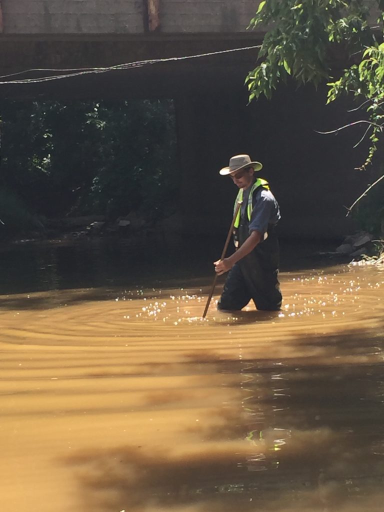
Specific Project Goals
- Characterize spatial distribution and rates of N and P cycling processes (e.g., denitrification [microbial removal of nitrate], sediment P uptake and release).
- Characterize supporting processes and variables supporting nutrient cycling (e.g., sediment oxygen demand, sediment carbon content, sediment particle size distribution, benthic oxygen demand, sediment cation distributions, channel shape, and benthic chlorophyll).
- Model landscape-scale geologic and geomorphic characteristics to predict locations of “functional process zones” containing nutrient cycling hotspots in measured and unmeasured catchments
- Measure reach-scale N and P removal using conservative tracer injections at a small number of sites.
- Determine the effect of Conservation Practices on distribution of zones of high rates of instream nutrient processing
Expected Outcomes:
- Provide land managers with information regarding the effect of Conservation Practices on the ability of streams and rivers to naturally “self-cleanse,” particularly with respect to nitrate and soluble phosphorus.
- Provide managers with quantitative estimates of nutrient retention capacity of streams, ditches and rivers under different in-stream management strategies (e.g., dredged v “natural” drainage ditches and streams) and which factors and practices lead to greatest instream retention of N and P.
- The project will provide measurements of processes and state variables needed to build better water quality models for more accurate estimate of downstream nutrient transport.
- The project will also develop spatially predictive models determining the distribution of nutrient cycling” hotspots” given particular geological, geomorphological and land-use setting.
We completed field work in late July 2016. Sampling of ~120 stream, river, and lake sites occurred during low flow conditions. Water and sediment samples were collected for analysis of nutrients, chlorophyll a and total carbon. Sediment samples were incubated to determine:
- Nitrate removal by microbial denitrification;
- Sediment phosphorus up-take or release;
- Sediment oxygen demand.
At a limited number of sites (6) we determined reach-scale N and P retention using controlled release of low levels of N and P and a conservative tracer (inert dye or table salt) and monitored the change in downstream concentrations over a several hour period.
Article author: William Richardson, U.S. Geological Survey Upper Midwest Environmental Sciences Center, La Crosse, WI. (wrichardson@usgs.gov)
The views and opinions expressed by external organization do not necessarily represent those of Fox-Wolf Watershed Alliance. Therefore, we cannot be held responsible for the accuracy or reliability of information provided by external parties.