
If you live in the area surrounding the Lower Fox River, or the Fox Valley as many people call it, hopefully you have heard about some of the agricultural practices that are being implemented on the farmland surrounding our urban areas.
Because of its impact on Lake Michigan, the Lower Fox River watershed has been deemed a Priority Watershed by the U.S. EPA. In recent years, reducing the sediment and nutrient loading to the Great Lakes from priority watersheds has been given special attention and funding.
The Fox-Wolf Watershed Alliance (FWWA) has secured federal Great Lakes Restoration Initiative (GLRI) funds and partnered with our local county Land Conservation Staff (Brown, Calumet and Outagamie), The Nature Conservancy, UWGB, USGS and the Great Lakes Commission to help agricultural producers implement conservation practices that will improve water quality by reducing the pollutant loading from agricultural runoff.
In past articles, we have shared some of our project success stories in regards to the planting of Cover Crops and Streambank Protection Projects.
This article will highlight some additional agricultural conservation practices that are also being installed, namely Stream Buffering and Concentrated Flow Treatments.
Vegetated Buffers
Practices currently being implemented by producers in the Plum and Konkapot watersheds through GLRI funding secured by the Fox-Wolf Watershed Alliance include the installation of buffer zones along navigable waterways running through agricultural lands. In an effort to maximize agricultural production areas and increase crop yields, some producers have increased productive acres by removing natural areas close to the Lower Fox River tributaries. Project staff from Outagamie, Brown and Calumet Counties have been working with producers and educating them on ways to improve water quality by allowing vegetated buffers to grow along these waterways.

Proposed projects include the installation of a total of 110 acres of 35-foot to 50-foot buffers and 58 acres of buffers exceeding 50-feet in width. To put those numbers into perspective, that’s 136,903 linear feet of 35-foot wide buffer strips and 50,530 linear feet of 50-foot wide buffer strips. To date, we have installed approximately 27 acres of the narrow strips and 30 acres of the wider buffers. For 2018, the project team has plans for installation of an additional 26 acres of narrow buffer strips and 21 acres of the wider strips.
In addition to filtering runoff along waterway corridors and removing excess nutrients and suspended solids, buffer strips are beneficial to in-stream and terrestrial wildlife. In addition, the installation of harvestable buffer strips (as shown in the picture to the right) can be beneficial to producers as these strips can be harvested and used as feed or bedding.

Concentrated Flow Areas
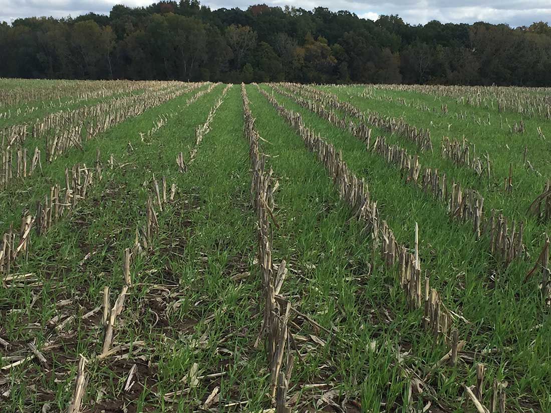
Concentrated Flow Areas found in and around agricultural lands are very susceptible to erosion as these are areas where surface water runoff gains enough energy to scour the landscape and form gullies. Similar to stream buffers, many concentrated flow areas are being cropped in order to maximize yields. Cropping these areas leave the landscape without vegetated protections against erosion during times when crops are not in the ground. Project staff have begun to work with producers in the area to educate them on the need to permanently vegetate these areas. In addition, staff has installed over 29 acres of Concentrated Flow Area Treatments and plans to install an additional 100 acres in the next two years.
Concentrated Flow Areas prevent erosion while also filtering out pollutants from surface water runoff inputs.

The picture (above) shows an agricultural field with minimally treated concentrated flow areas.

Staff worked with this landowner to map these areas as shown in the picture (above) while also planting permanent vegetation in these areas.

As you can see in the third picture (above), through the use of incorporating the mapped coordinates, these areas can be avoided during agricultural practices, allowing them to maintain their form and function.
Tracking Installed Practices
Project staff are not only installing Concentrated Flow Area Treatments, they are protecting them from being destroyed by farming practices through Geographic Information Systems (GIS) mapping. Areas that have been established in permanent vegetation are mapped and then software containing the mapped coordinates is given to the producer. Advanced farming machinery can then automatically avoid these areas when spraying herbicides or other farming practices.
Chad VandenLangenberg – Lower Fox River GLRI Coordinator
Fox-Wolf Watershed Alliance
These are good practices needing more support from our leaders. The changing climate will also challenge our thinking on technical innovations and approaches to weather extremes.
it is of great interest to me reading you’re concerted efforts to address this ag. run off problem. Here in Madison, our lakes are green the need for weed removal seems to be an after solution, i’m sure our water quality leaders are interested in your buffer zones and what ever else can keep runoff out of the water ways . thank you .