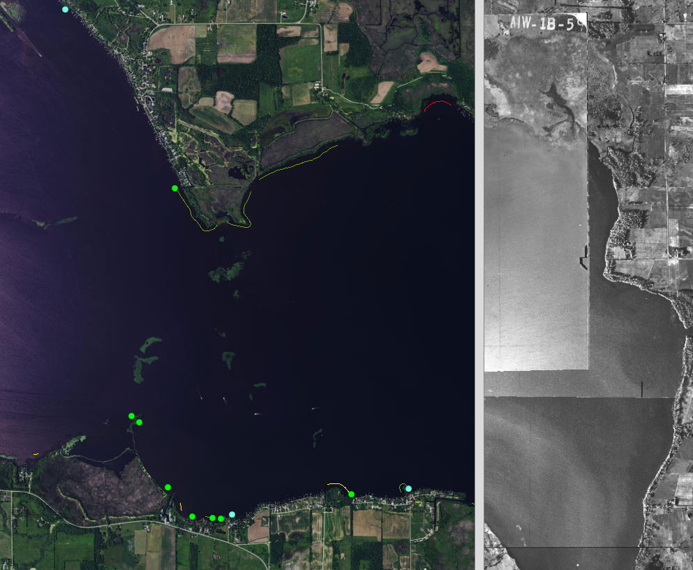
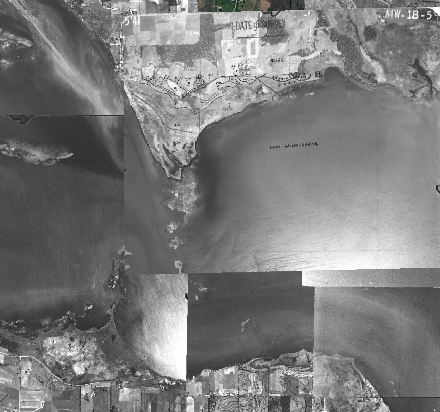
Winnebago County recently created on online historic image viewer for the Upper Pool Lakes. An easy to use slider tool allows user to “swipe” between views of modern aerial photos and 1941 photos. Although the 1941 imagery are for reference use only (because of inaccuracies that are introduced when geo-referencing scanned historic images to digital imagery), the display is impactful as viewers jump back and forth between modern and historical views of the lakes. It’s incredible to see the vast differences in aquatic plant coverage in the lakes between the two views. If you look closely, you can even find changes in shoreline shape and channels in some areas.
If that isn’t entertaining enough, the viewer also includes data collected from a 2014 shoreline inventory. Areas of concern or existing buffers as well as oblique shoreline photos were mapped. To view those data, you simply zoom in on the modern aerial view and click on one of the dots or squares. If you click on a purple square, a window will pop up with a link to a photo taken in 2014 of the shoreline at that particular location.
Fair warning – if you decide to explore this incredible online tool, you may end up losing track of time!
CLICK HERE to visit the Historic Shoreline Map viewer
Please contact Andy Maracini (920-232-1956) at the Winnebago County Land & Water Conservation Department if you have any questions about the map tool.

The image above shows the transition from modern aerial photos to historic imagery as you swipe the slider to the right.

The image above shows the historic imagery displayed when you swipe the slider to the left.
Article written by Korin Doering, Winnebago Waterways Program Coordinator, korin@fwwa.org


