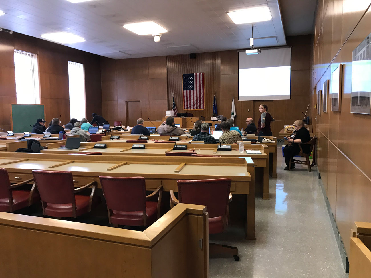
On December 11, 2018 the Shawano County Land Conservation Department hosted a SnapPlus training for farmers throughout Shawano County.
SnapPlus v.18 is nutrient management planning software specific for Wisconsin. Snap stands for Soil Nutrient Application Planner and is a program that helps farms plan for the most appropriate purchase size and use of fertilizer. SnapPlus can calculate potential field-by-field losses of soil and phosphorus to further protect soil and water quality in the area.
The program was put on by the Shawano County LCD with assistance from NRCS, the Department of Agriculture, and UW-Extension. There were approximately 15 farmers in attendance to either learn how to use SnapPlus or to update their previous nutrient management plan. It also helps farmers establish a winter spreading plan in case of emergencies.
The majority of farmers in attendance participate in the Farmland Preservation Program. Inclusion within the program helps counties develop farmland preservation plans, it helps landowners meet soil and water conservation standards, local governments are able to develop farmland preservation zoning districts, and both landowners and local governments work together to form Agricultural Enterprise Areas.
SnapPlus is quite user friendly as a program. The use of colored buttons to remind users to save their work is very helpful. The online map creation is a great addition for farmers. They can draw their fields to get accurate acreages and record if fields have changed. Through the simple upload of soil tests and an understanding of land practices, the program helps farmers create a comprehensive nutrient management plan from year to year.
The program can be downloaded for free from here: https://snapplus.wisc.edu/
Written by Emily Henrigillis, FWWA; Connecting Our Waters Program Manager; emily@fwwa.org 920.851.6472


